04 — Navigational Charts
All-region digital charts and publications
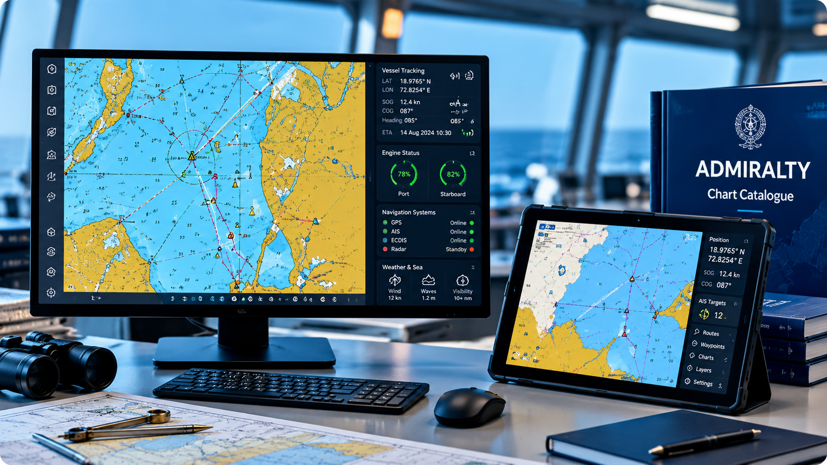
We can provide all-region digital charts for efficient navigation of your vessels, along with the relevant publications — keeping ECDIS and paper backups compliant and current.
Overview
Compliant, current, all-region coverage
Chart correction and publication management is easy to fall behind on across a busy fleet. We supply digital charts covering all trading regions, alongside the relevant Admiralty publications, so ECDIS systems and paper backups both stay compliant.
Coordinated with your service desk request, updates can be scheduled around port calls or delivered digitally where connectivity allows.
Key Features
What's included
- All-region digital chart coverage
- Admiralty publication supply
- ECDIS compliance support
- Paper backup chart provisioning
- Update scheduling around port calls
- Coordinated with fleet-wide compliance needs
Applications
Where this fits in your operation
- ✓ECDIS chart currency across a fleet
- ✓New-build outfitting with initial chart sets
- ✓Flag-state and port-state compliance checks
- ✓Route changes requiring new regional coverage
Benefits
Why it matters
- ✓One coordinated point for charts across the fleet
- ✓Reduced risk of compliance gaps
- ✓Digital and paper backup covered together
- ✓Requests handled alongside other IT/comms needs
Related Services
You might also need
Ready to talk through all-region digital charts and publications?
Tell us about your vessel and trading pattern — we'll recommend the right setup.